The Kanha National Park stretches over an area of 940 km² in the Mandla and Balaghat districts, spanning from the longitude of 80°-26'-10″ to 81°-4'-40″ and latitude of 22°-1°-5″ to 22°-27'-48″. The tiger reserve majestically comprises two divisions: the core zones, known as Kanha National Park, covering 940 km², and the multiple-use area spanning at least 1009 sq km, bringing the total coverage area to 1,949 sq km.
Additionally, the Phen Wildlife Sanctuary is scattered around an area of 110.740 sq km in the vicinity of the Kanha Tiger Reserve. Kanha is located 160 kilometers (100 miles) southeast of Jabalpur, stretching across 22° 7' to 22° 27' N and 80° 26' to 81° 3' E.
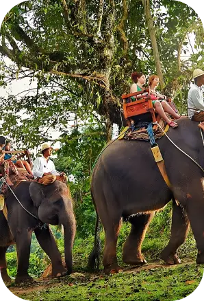
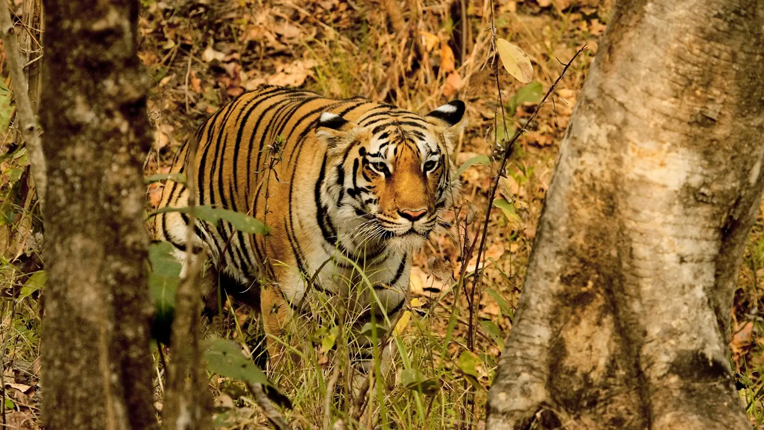
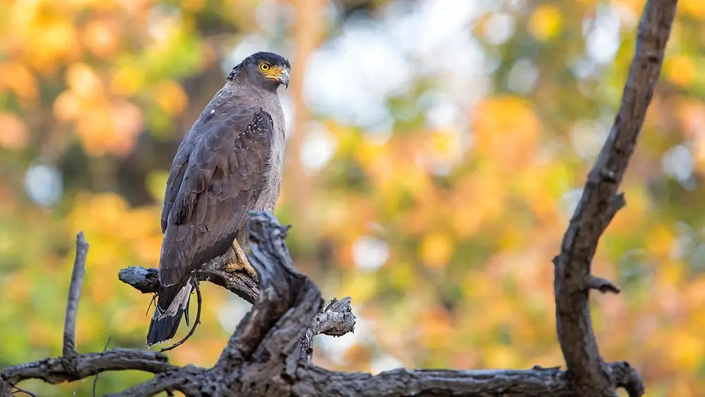
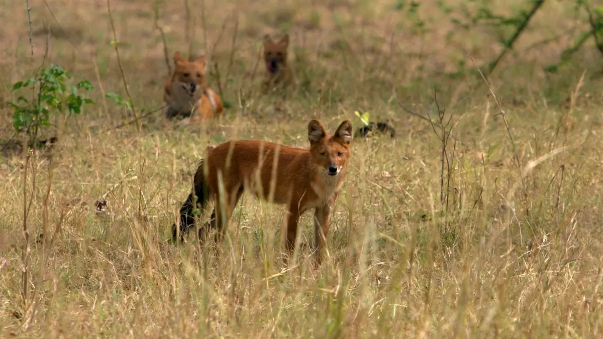
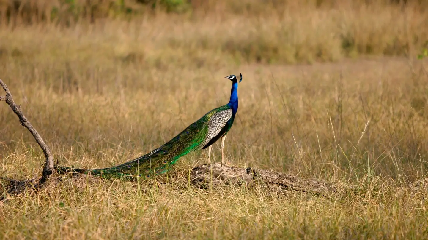
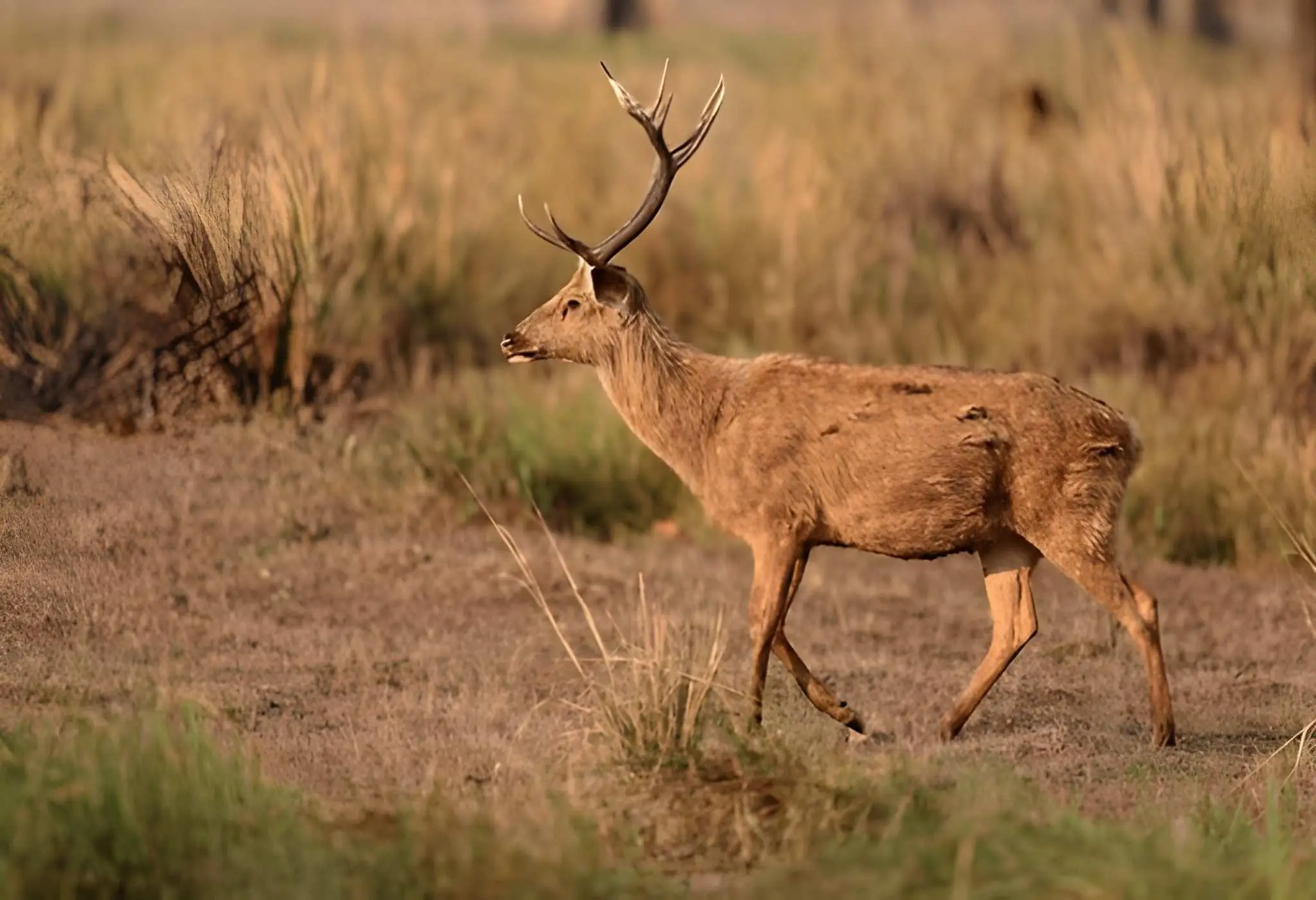
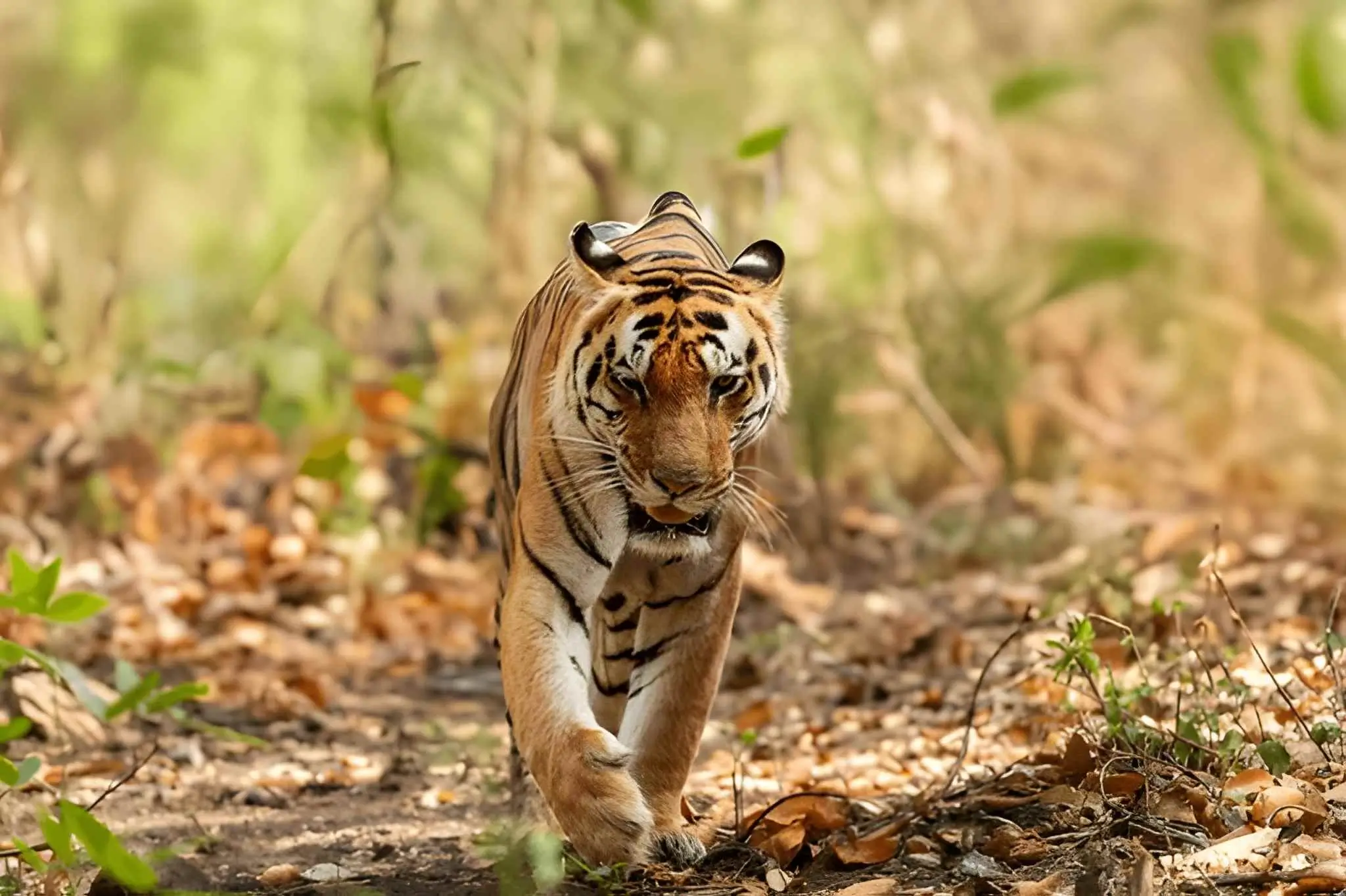
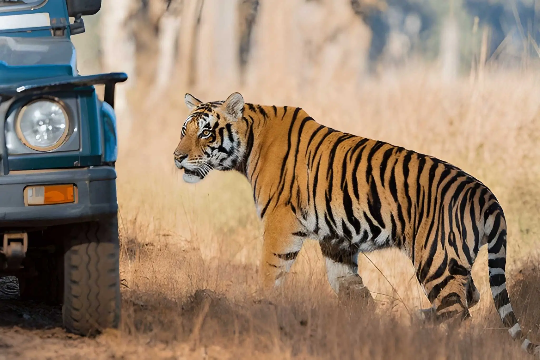
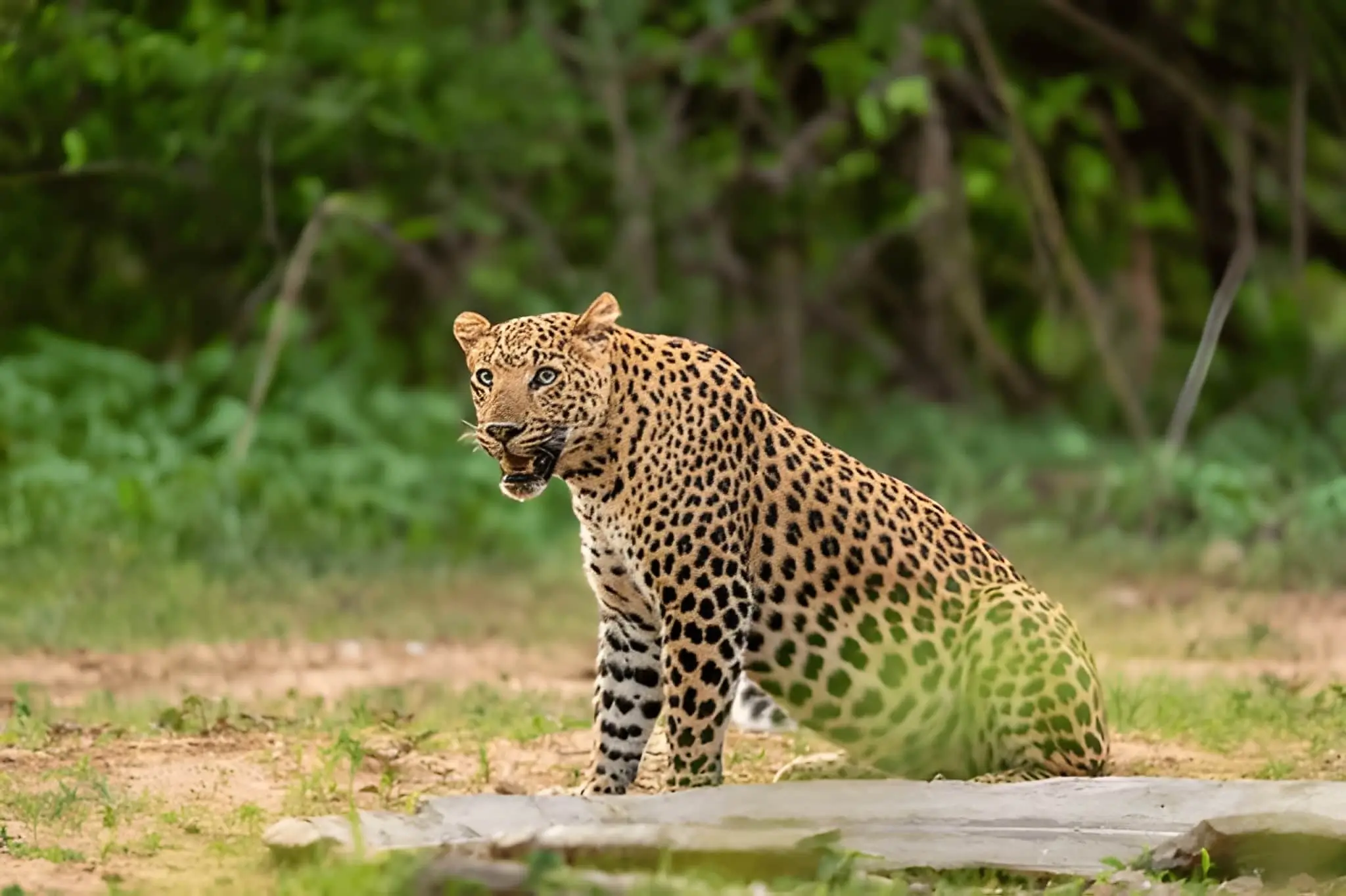
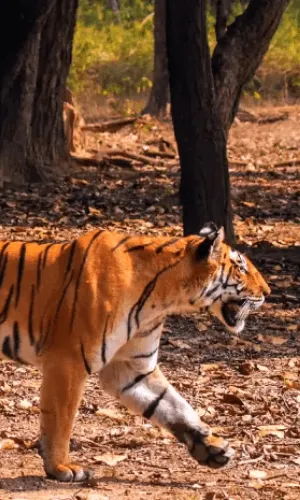
The park has two entrance gates at its opposite ends: one at Khatia-Kisli and the other at Mukki Gate. The distance between these two gates is 40 km. The boundary line of the tiger reserve touches Raipur City in Chhattisgarh. India's second national park, the Kanha Tiger Reserve, is the pride of the dense forests between the Vindhya and Satpura ranges, offering a variety of flora and fauna.

View this Tour
View this Tour
View this Tour
View this Tour
View this Tour
View this Tour
View this Tour
View this Tour
View this Tour
 +91-9212553107
 What'sApp


 Packages