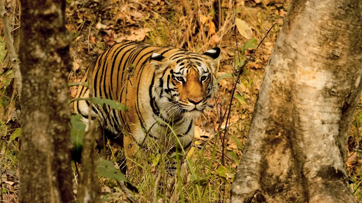
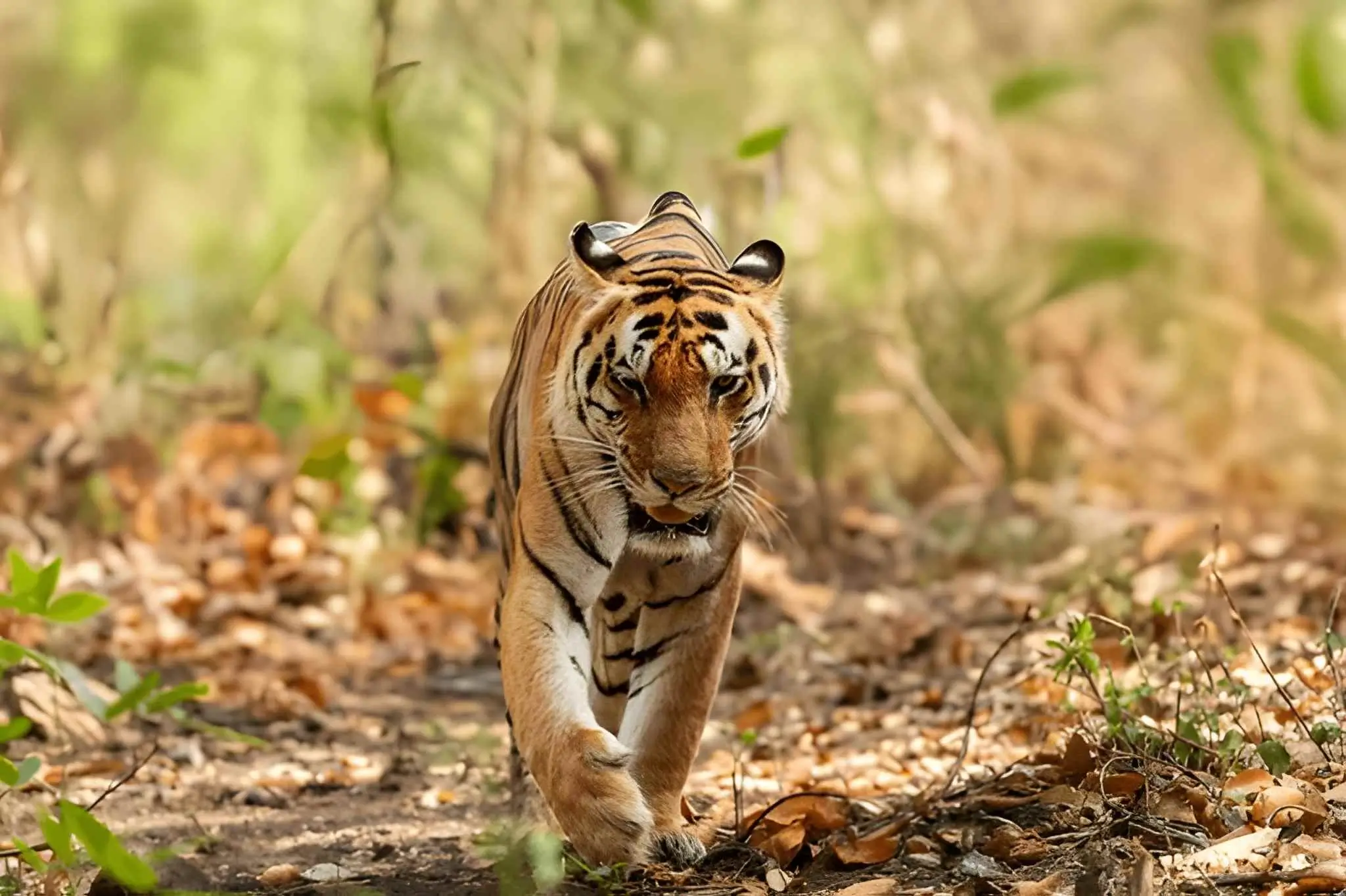
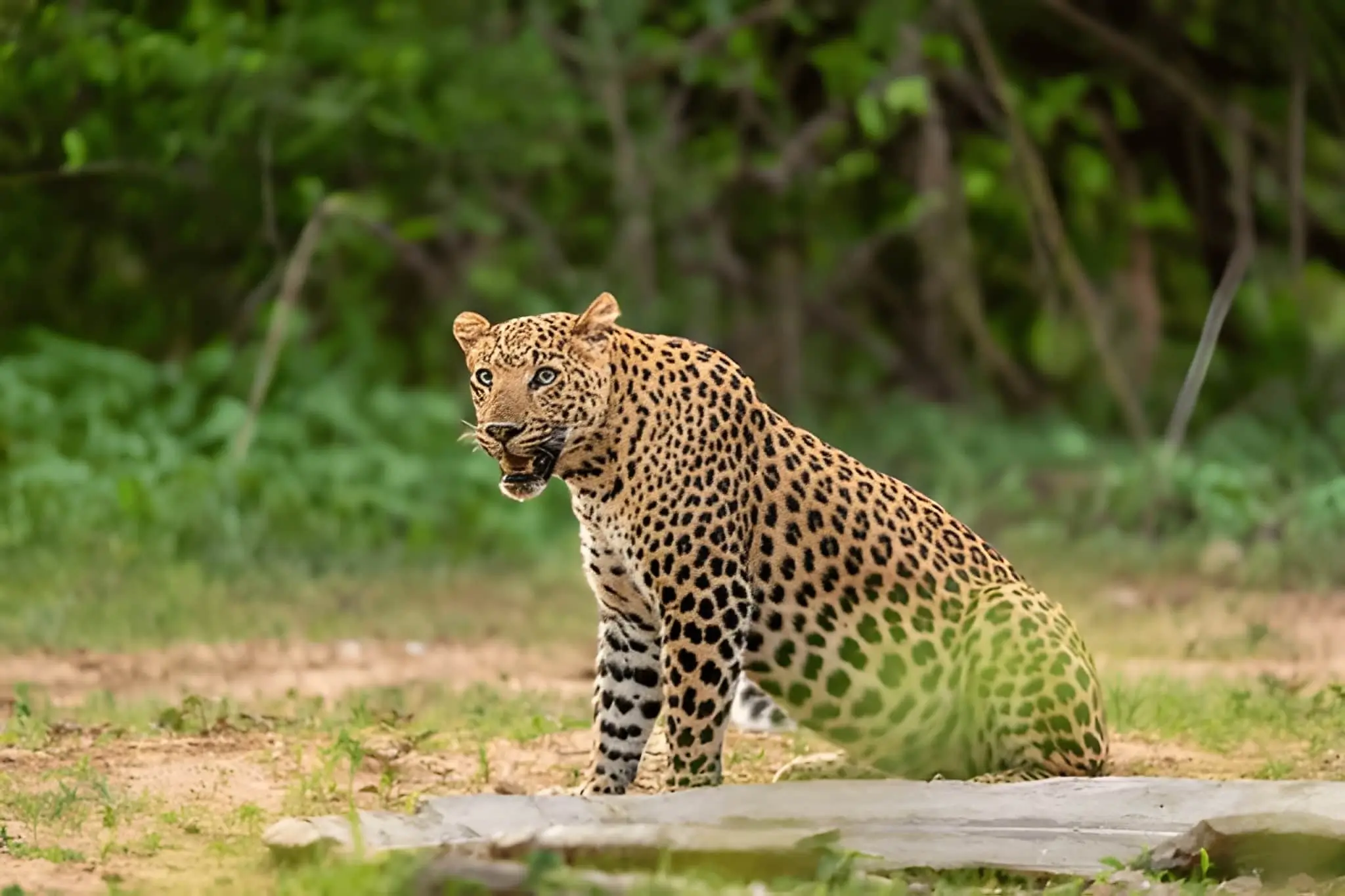
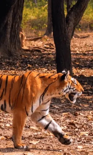
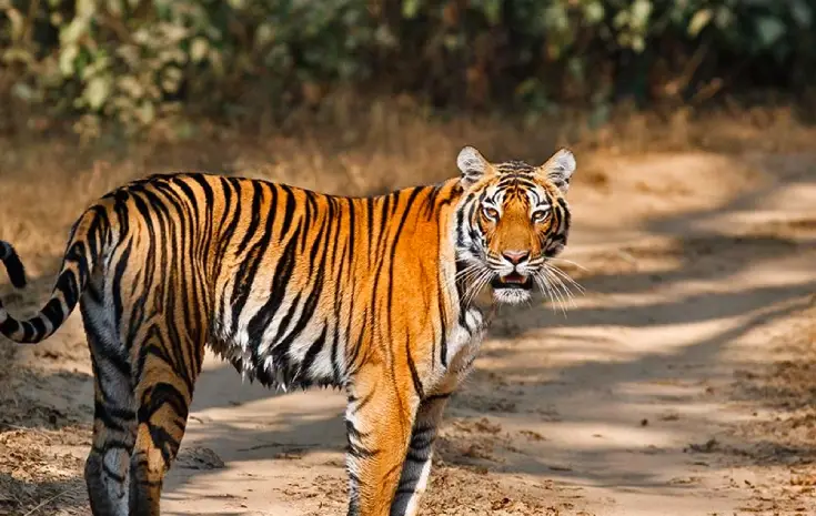
Kanha National Park, officially known as the Kanha Tiger Reserve, captivates true nature lovers with its stunning landscapes. The climate and atmosphere are outstanding, drawing attention as visitors explore its corners.
Area
Kanha National Park is shaped like a figure "8" on its side, with a length from west to east of approximately 80 km and a width ranging from 8 to 35 km. The park's total area is 1945 square km, consisting of a core area of 940 square km surrounded by a buffer zone of 1,005 sq km. There are nearly 155 villages in the buffer zone and over 255 villages within a radius of 10 km.
Furthermore, the park is divided into 6 ranges for better management: Kisli, Kanha, Sarhi, and Mukki in the western block; and Bhaisanghat and Supkhar in the eastern sector, which are closed to the public.
Geography
Kanha is situated in the central Indian highlands, hosting almost half of India's forests. The Kanha Reserve is located in the Maikal Range, forming the eastern base of the triangular Satpura Range. The park lies 160 km (100 miles) southeast of Jabalpur and 270 km (170 miles) northeast of the city of Nagpur (Maharashtra). The exact geographical coordinates of Kanha are Latitude: 22° 7' to 22° 27'N; Longitude: 80° 26' to 81° 3'E.


View this Tour
View this Tour

View this Tour
View this Tour
View this Tour
View this Tour

View this Tour
View this Tour
View this Tour
 +91-9212553107
 What'sApp


 Packages